ANALYZING THE VEGETATION PROBLEM: Getting the Most Out of Collected Data Through Advanced Analytics
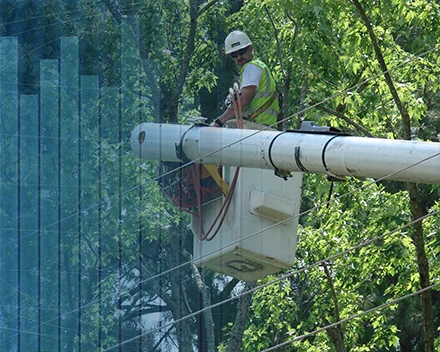
As a utility, vegetation management is of the utmost importance – for ensuring transmission and distribution reliability and complying with complex North American Electric Reliability Corporation (NERC) regulations for minimum vegetation clearance distance and facility ratings. Utilities now rely on advanced remote sensing technologies to survey transmission infrastructure, then use the data collected to show compliance.
While utilities may rely on basic analytical tools to deliver the required NERC compliance data, they may not take full advantage of the valuable data being collected. In this article, we’ll explain
how utilities can go beyond basic descriptive analytics, using both prescriptive and predictive analytics to transform massive data sets into real-time, actionable information critical to ensuring reliability across the electric grid. And, we’ll share examples of how utilities are leveraging advanced analytics to drive greater efficiency and cost savings across their organization.
GOING BEYOND DATA COLLECTION
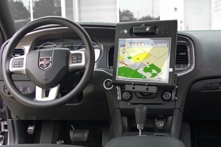
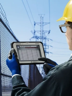
Utility vegetation management practitioners rely on a wealth of information to both optimize and streamline decision making related to budgetary needs, schedule prioritization and risk management. In our previous article, “Advanced Survey Technologies Deliver Clear View of Geologic Hazards” (ET issue Third Quarter 2016 Volume 29, No.3), we described the various technologies – such as multispectral, hyperspectral and thermal imaging as well as LiDAR – used for remote data sensing and shared how they are leveraged in applications to assess tree health, forest inventory, soil composition analysis and asset inventory.
Raw data collected using these technologies is prohibitively large regardless of the source. A single LiDAR collection covering a 35- mile transmission circuit can result in files exceeding 100 gigabytes. Add in corresponding imagery and the data size easily doubles or triples. This data alone – or combined with other sources – often leads to a perceived “data overload,” leaving utilities overwhelmed and unsure how the information can be used in the most effective manner. Remotely sensed data is a powerful information source that requires specialized skills and techniques to exploit its inherent advantages. Ultimately, utilities will employ advanced analytics solutions to leverage any quantity or type of remote sensing data – as well as data that comes from other sources – to extract the specific business intelligence they require.